
Friday, March 6th 2020 – Although most of the first week of March came in like a lamb with Toronto seeing milder than normal temperatures the past few days, a surprisingly heavy band of wet snow will affect the Friday morning commute in the west GTA.
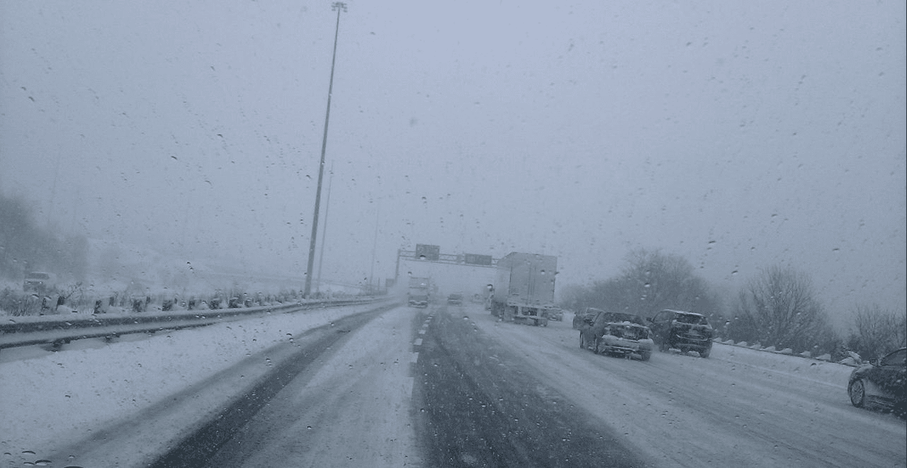
Totals are accumulating as heavier than expected in some areas, as an “overachieving band” caused by a “stacked low” according to The Weather Network slammed the western parts of southern Ontario. A stacked low means there is a low pressure system in the upper atmosphere and at the surface creating heavier snow than expected with Cambridge already picking up 7 cm of snow by 7:00 am and Hamilton also receiving a hefty dump along with Kitchener/Waterloo, north Burlington and north Oakville. Environment Canada has issued weather advisories in Ontario for: Hamilton, Halton, Peel, Niagara, Waterloo, Wellington, Huron, Perth, Ottawa, Prescott and Russell.
The advisory states “A band of heavy snow is pivoting over Southwestern Ontario. Local snowfall amounts of 5 to 15 cm are possible by the time the snow weakens and moves out of the area late this morning.”
The good news is although in Toronto we will only see flurries and temperatures will plummet to -8 celsius this evening, the wintry weather will be brief, as temperatures will climb steadily with Saturday, hitting double digit territory by Sunday.
Saturday will deliver bright sunshine and a high of 5 degrees celsius, dipping to minus 1 just in time for the TFC home opener (probably plus one at kickoff time), Sunday delivers a mix of sun and cloud and a welcome high of plus 10 degrees celsius!
Here is a look at this week’s forecast from Environment and Climate Change Canada.


You must be logged in to post a comment.