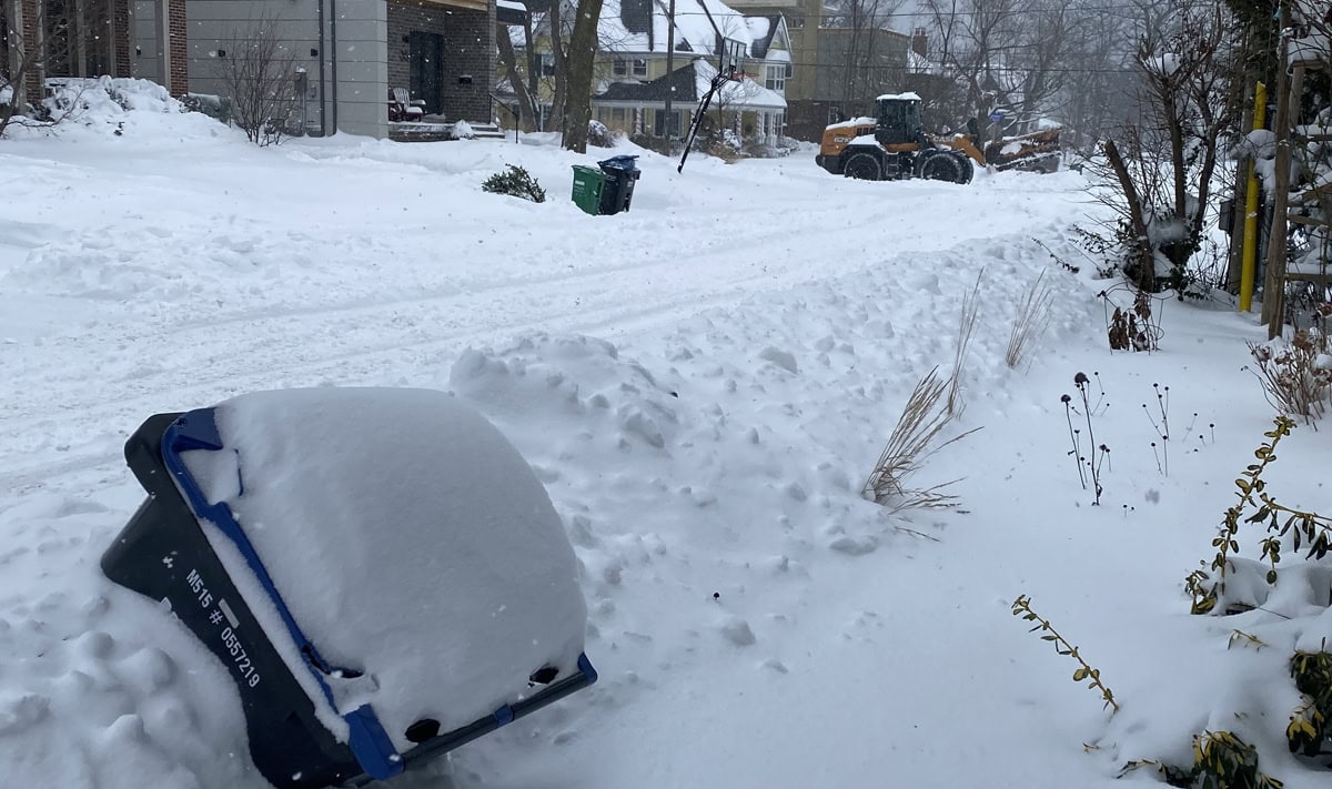
TORONTO, Feb. 11, 2025 – Another special weather statement has been issued by Environment and Climate Change Canada. Essentially more snow is on its way to the GTA and if the temperature remains low, the accumulation could be as much as 15 cm (half a foot). ECCC says the storm with snow and freezing rain is going to hit the Greater Toronto Area late Wednesday into Thursday.
Environment and Climate Change Canada Report
What: Snowfall amounts possibly exceeding 15 cm. Poor visibility in heavy snow and local blowing snow. Risk of freezing rain.
Snow or freezing rain
When: Beginning Wednesday evening and ending Thursday. Additional information: Significant snowfall associated with a low pressure system is likely for the area beginning Wednesday evening. Confidence in the exact track of the low pressure system is uncertain at this point, but it is likely that snow will transition to freezing rain or rain late Wednesday night or Thursday morning.
If the track of the low pressure system shifts farther south, precipitation will remain predominantly snow, and significantly higher amounts will be possible.
Hazardous driving
Regardless of the track of the weather system, ECCC warns that hazardous travel conditions are likely Wednesday evening into Thursday morning. Motorists are urged to consider postponing non-essential travel until conditions improve.
Please continue to monitor alerts and forecasts issued by Environment Canada. To report severe weather, send an email to ONstorm@ec.gc.ca or tweet reports using #ONStorm.
Other articles from totimes.ca – mtltimes.ca – otttimes.ca