

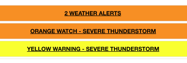
TORONTO, Sept. 2, 2026 – Environment and Climate Change Canada has issued an Orange Watch Severe Thunderstorm Watch as dangerous thunderstorms are expected to develop across the region this afternoon and evening, bringing the potential for damaging wind gusts exceeding 110 km/h, large hail, torrential rainfall and even a tornado.
The storms are expected to develop during the mid to late afternoon along and ahead of an advancing cold front before moving through the region this evening.
Environment Canada says the primary concerns are strong and potentially damaging winds, large hail and torrential downpours. Local rainfall amounts could reach 50 millimetres.
Tornado Possible
There is also a risk of tornadoes as conditions may become favourable for some of the thunderstorms to produce rotating storms.
Dangerous Storms Could Develop This Afternoon
Forecasters say there remains some uncertainty about exactly how strong the thunderstorms will become because lingering cloud cover could limit the amount of atmospheric instability that develops.
However, the latest observations and computer models continue to indicate that enough instability should build this afternoon to create a robust threat of severe weather and we are already experience heavy rain squalls and some high winds in some areas.
The most significant hazards include:
- Wind gusts exceeding 110 km/h
- Quarter to ping-pong-ball-sized hail
- Torrential downpours
- Local rainfall amounts of up to 50 mm
- Possible tornadoes
The combination of powerful winds and large hail could cause significant damage to trees, roofs, buildings and other property. Utility outages are also possible.
Take Cover if Severe Weather Approaches
Environment Canada is warning that there is a risk of serious injury from the storms.
Residents should be prepared to take shelter quickly if threatening weather approaches. The safest place during a severe thunderstorm is inside a sturdy building, preferably in a basement or an interior room away from windows.
Anyone caught outdoors should move inside as quickly as possible and protect themselves from flying debris and hail.
When thunder roars, go indoors.
Large hail can cause significant damage and serious injuries, while lightning remains a danger even when a storm does not appear to be directly overhead.
Emergency Management Ontario recommends taking cover immediately when threatening weather approaches.
What Is a Severe Thunderstorm Watch?
A Severe Thunderstorm Watch means that atmospheric conditions are favourable for the development of thunderstorms capable of producing damaging winds, large hail or heavy rainfall.
The watch does not necessarily mean that severe weather is occurring at that moment, but conditions can deteriorate quickly. A watch can be upgraded to a Severe Thunderstorm Warning if dangerous storms develop.
Residents should continue monitoring Environment and Climate Change Canada alerts and forecasts throughout the afternoon and evening.
Anyone who encounters severe weather can report it to Environment Canada by email at ONstorm@ec.gc.ca or on social media using #ONStorm.
With thunderstorms expected to develop this afternoon and continue into the evening, residents should be prepared to move indoors quickly if conditions deteriorate.















You must be logged in to post a comment.