
Significant Snow expected for Toronto area – Although February is beginning with spring-like weather, that will soon turn back to the angry winter to which Torontonians have grown accustomed, as temperatures will drop rapidly from plus 3 celsius to minus 7 on Tuesday night, according to Environment Canada.
Both The Weather Network and Environment Canada are predicting a sunny day Wednesday with a high of minus 2 and overnight low of minus 6, but The Weather Network in Oakville/Missisauga is calling for a messy system moving in Wednesday night delivering widespread snow to the region.

“A temperature boundary south of the Great Lakes separating cold air from warm will help to power an active storm track across the region through the middle of this week,” says Weather Network meteorologists.
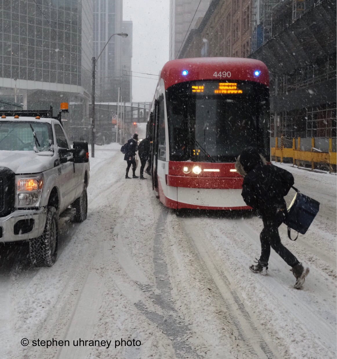
And it looks like Toronto commuters will need to be armed with snow shovels, ice scrapers and sensible footwear on Thursday morning as some form of precipitation is coming, most likely shaped like snowflakes.
How much snow is expected
“Forecasters are watching a system set to spin up along that boundary (Lakes Erie and Ontario), one that threatens to bring widespread snow to southern Ontario Wednesday night and into Thursday. A transition over to ice pellets and freezing rain is also expected across the south, which could impact overall snow totals.
“The spots most likely to see an icy mix are right along the northern side of Lake Erie, as well as across the Niagara Peninsula through the day on Thursday,” says The Weather Network report.

At this point the largest accumulation of snow will occur through the snowbelt from the 401 and north but this could shift delivering 5 – 15 cm of snow further south around the lake if the pattern alters slightly.
“Meanwhile, northern parts of our region stay as all snow could see 10 to 15 cm by Thursday evening,” says Weather Network meteorologist Dr. Doug Gillham.
Light snow may also linger into Friday morning as a second system tracks well south of the region.
Other articles from the totimes.ca


You must be logged in to post a comment.