
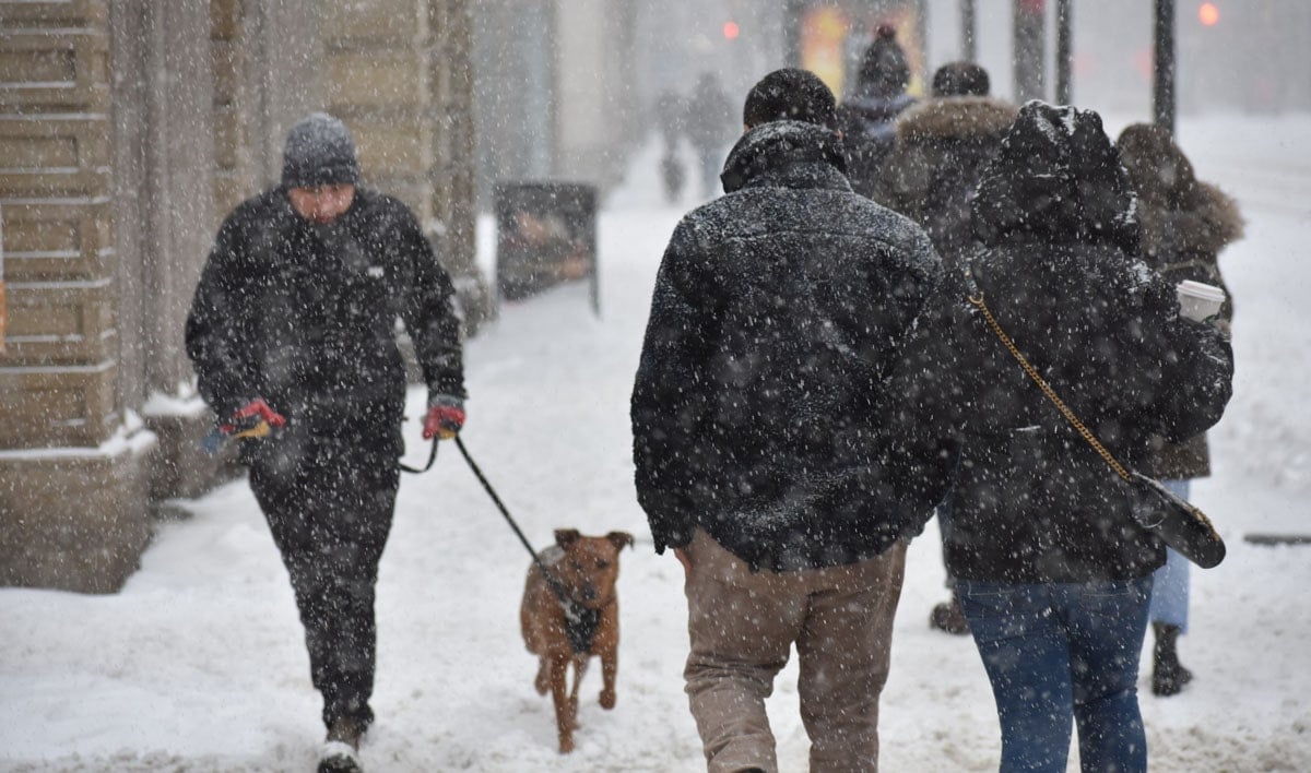
TORONTO, Dec. 22, 2022 – Environment Canada (ECCC) has updated their weather alerts for Toronto and the southern Ontario, warning of snowfall between 5 – 15 cm and blizzard conditions in the Niagara Region along with Waterloo, Colllingwood and Muskoka/Parry Sound vicinities. Travel is expected to become extremely hazardous and not advised.
ECCC says on Friday we can expect strong winds up to 90 km/h accompanied by a flash freeze with the temperature expected to drop rapidly from plus 1 to minus 7 degrees celsius over just a few hours on Friday. This will be accompanied by snowfall accumulations of 5 to 15 cm by Saturday morning with extreme cold temperatures around -20 celsius with the windchill.
Snow will taper off from heavy to flurries on Saturday and yes a white Christmas is expected in Toronto and southern Ontario.
Consider postponing non-essential travel until conditions improve. Visibility will be suddenly reduced to near zero at times in heavy snow and blowing snow. If visibility is reduced while driving, slow down, watch for tail lights ahead and be prepared to stop. Public Safety Canada encourages everyone to make an emergency plan and get an emergency kit with drinking water, food, medicine, a first-aid kit and a flashlight. For information on emergency plans and kits go to http://www.getprepared.gc.ca.

Winter Storm Warning issued by Environment and Climate Change Canada
Winter storm warning in effect for all of southern Ontario.
Blizzard warning in effect for: Barrie – Orillia – Midland, Brockville – Leeds and Grenville, Dufferin – Innisfil, Grey – Bruce, Huron – Perth, Niagara, Parry Sound – Muskoka and Waterloo – Wellington.
ECCC’s weather alert for Toronto reads:
“Major winter storm today into Saturday.
Travel will become hazardous and is not advised.
Hazards:
Wind gusts up to 90 km/h resulting in widespread blowing snow which will reduce visibility to near zero at times. Utility outages are possible.
Snowfall amounts of 5 to 15 cm by Saturday morning.
Wind chill values into the minus twenties.
Flash freeze producing icy and slippery surfaces.
Timing:
Strong winds and widespread blowing snow developing this morning and continuing into early Saturday morning.
Snow will taper to flurries Saturday morning.
Very cold wind chill values will develop this morning and persist into the weekend.
Flash freeze possible this morning.
Discussion:
Temperatures are expected to plummet this morning leading to a potential flash freeze. Rapidly falling temperatures will be accompanied by snow and very strong winds which will result in widespread blowing snow. Remember, it does not take much accumulation in combination with very strong winds for whiteout conditions to develop.”
Please continue to monitor alerts and forecasts issued by Environment Canada. To report severe weather, send an email to ONstorm@ec.gc.ca or tweet reports using #ONStorm.
Other articles from totimes.ca – mtltimes.ca – otttimes.ca


You must be logged in to post a comment.