
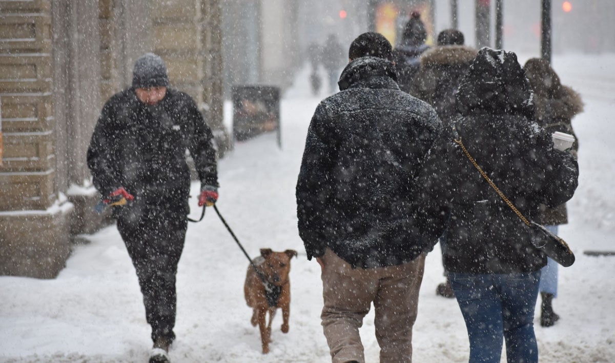
TORONTO, Feb. 21, 2023 – A Winter Storm Watch in effect for Toronto and southern Ontario Wednesday night into Thursday has been updated to a Winter Storm Warning, with heavy snow expected and accumulations of 10 – 15 cm, according to Environment and Climate Change Canada.
Canada’s most trusted weather source says we can expect a winter storm with light snow beginning early afternoon Wednesday, becoming heavier later in the day and continuing into Thursday, at times delivering heavy snow and ice pellets. ECCC has is now saying that snow accumulations may be between 10 cm and 15 cm in the GTA, with more snow expected in southwestern Ontario.
“From the shores of Lake Huron and cottage county extending across eastern Ontario, there’s a higher probability to see over 20 cm of snowfall through Thursday.,” reads the report from The Weather Network.
In addition to the snow and ice pellets, there is a risk of freezing rain, particularly closer to Lake Ontario. ECCC warns of reduced visibility in heavy snow and blowing snow.

Winter Storm Specifics
ECCC says, “Light snow will become heavy at times late this afternoon or early this evening. Snow will become mixed with ice pellets and may intermittently change over to freezing rain tonight. The wintry mix will taper off early Thursday morning to patchy freezing drizzle.”
This is expected to be followed by “another light wintry mix of precipitation” Thursday afternoon into Thursday evening.
The storm is the result of a Colorado low bringing “a wintry mix of snow and ice pellets to much of southern Ontario. Precipitation may fall heavily at times leading to hazardous winter travel conditions. Precipitation may also mix with freezing rain in some areas. There remains some uncertainty for the exact location, timing, and accumulations of snow and ice pellets.”
Surfaces such as highways, roads, walkways and parking lots will become icy, slippery and hazardous. Take extra care when walking or driving in affected areas. There may be a significant impact on rush hour traffic in urban areas. If visibility is reduced while driving, slow down, watch for tail lights ahead and be prepared to stop. Public Safety Canada encourages everyone to make an emergency plan and get an emergency kit with drinking water, food, medicine, a first-aid kit and a flashlight. For information on emergency plans and kits go to http://www.getprepared.gc.ca.
Please continue to monitor alerts and forecasts issued by Environment Canada. To report severe weather, send an email to ONstorm@ec.gc.ca or tweet reports using #ONStorm.
The storm is the result of a Colorado low bringing “a wintry mix of snow and ice pellets to much of southern Ontario. Precipitation may fall heavily at times leading to hazardous winter travel conditions. Precipitation may also mix with freezing rain in some areas. There remains some uncertainty for the exact location, timing, and accumulations of snow and ice pellets.”
Please continue to monitor alerts and forecasts issued by Environment Canada. To report severe weather, send an email to ONstorm@ec.gc.ca or tweet reports using #ONStorm.
lead photo by Ken Whytock
Other articles from totimes.ca – otttimes.ca – mtltimes.ca


You must be logged in to post a comment.