
UPDATE T-Storm WARNING ENDED AT 1:45 PM
SEVERE THUNDERSTORM WARNING ISSUED FOR TORONTO AREA
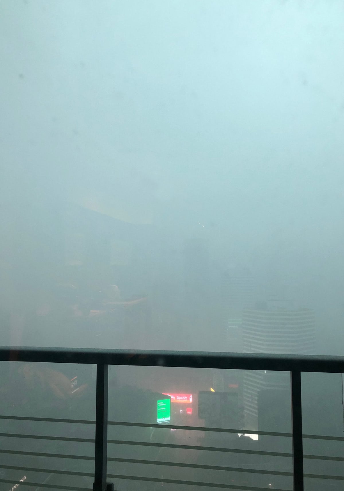
TORONTO, ON., July 19, 2020 — Today at 1:25 p.m. EDT, Environment Canada meteorologists are tracking a line of severe thunderstorms capable of producing very strong wind gusts and heavy rain.
This line of severe thunderstorms is located from the Niagara Peninsula to Peterborough, moving east at 70 km/h.
Hazards:
– 100 km/h wind gusts.
– Risk of a tornado.
Locations impacted include:
Toronto, Markham, St. Catharines, Niagara Falls, Pickering, Fort Erie, Oshawa, Downtown Toronto, Port Colborne, Welland, Uxbridge, Ajax, Port Perry, Whitby and Bowmanville.
The warning follows a tornado warning that had been issued for the West GTA, today at 12:46 p.m. EDT. Environment Canada meteorologists were tracking a severe thunderstorm that would possibly produce a tornado. Damaging winds, large hail and locally intense rainfall were also possible.
Strong wind gusts can toss loose objects, damage weak buildings, break branches off trees and overturn large vehicles. Remember, severe thunderstorms can produce tornadoes. Lightning kills and injures Canadians every year. Remember, when thunder roars, go indoors!
Severe thunderstorm warnings are issued when imminent or occurring thunderstorms are likely to produce or are producing one or more of the following: large hail, damaging winds, torrential rainfall.
The Office of the Fire Marshal and Emergency Management recommends that you take cover immediately if threatening weather approaches.
Please continue to monitor alerts and forecasts issued by Environment Canada. To report severe weather, send an email to ONstorm@canada.ca or tweet reports using #ONStorm.


You must be logged in to post a comment.